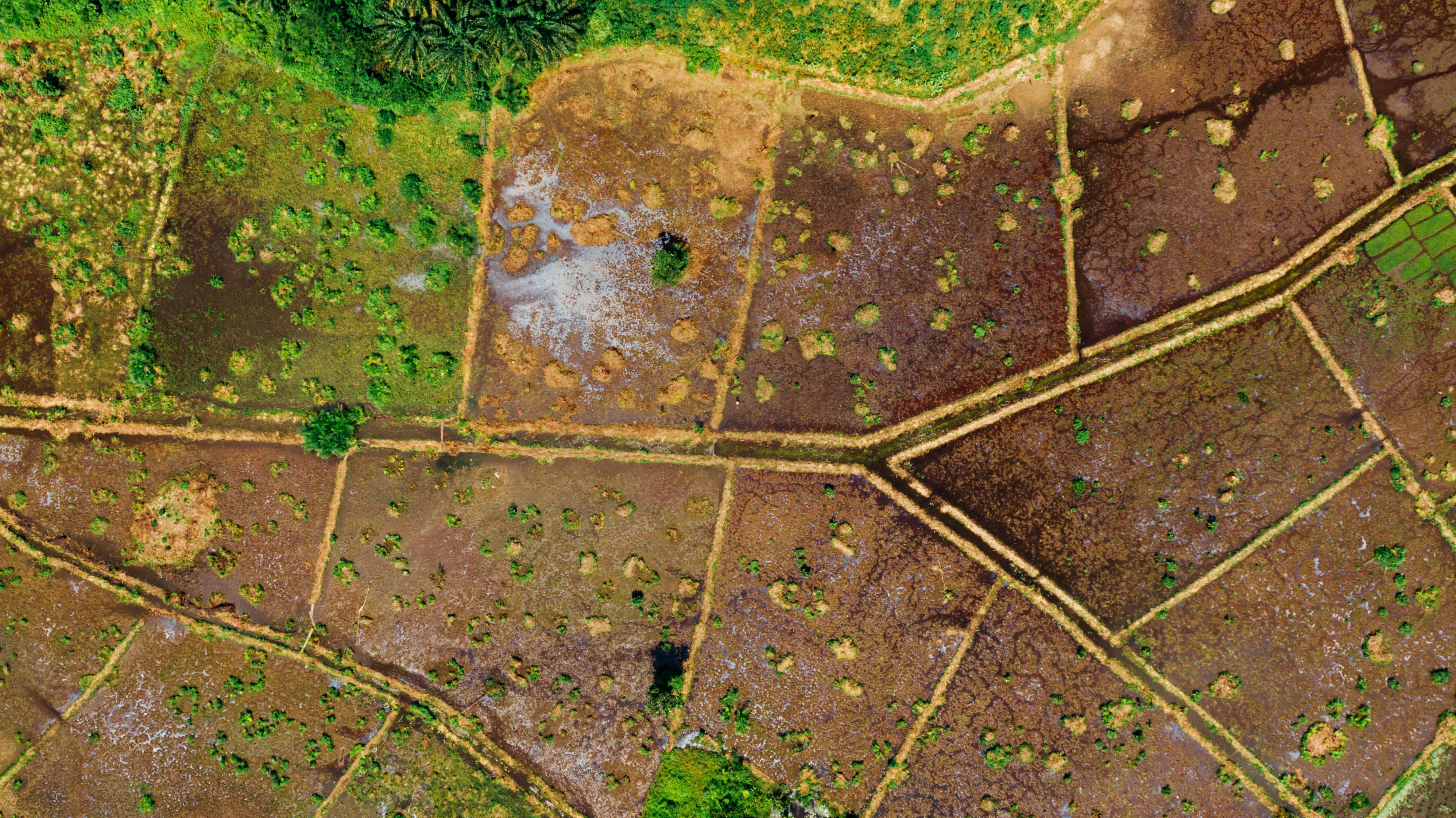
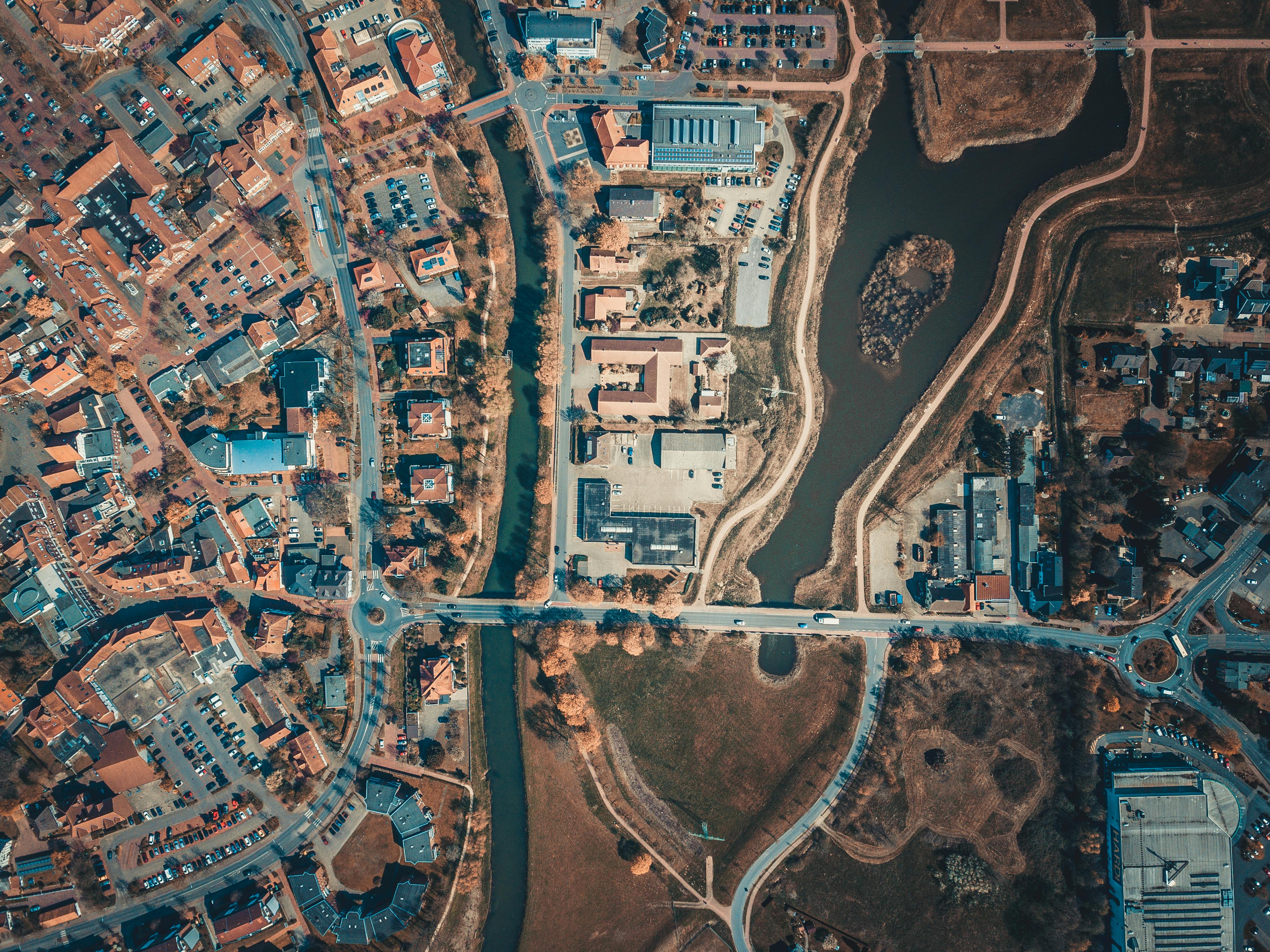
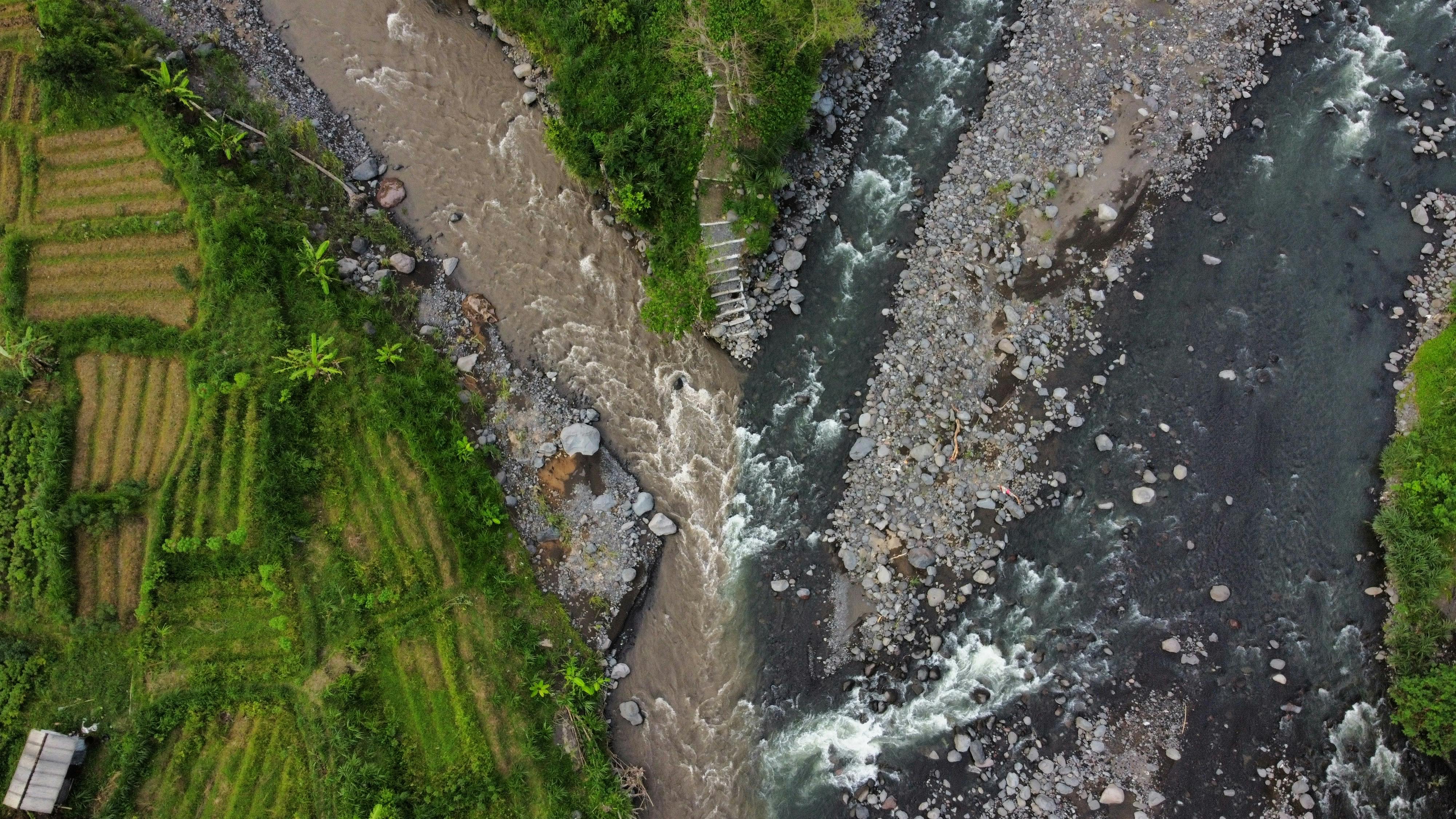
Perform GIS Analysis
Just By Asking
Geovatra is an AI-powered geospatial platform that lets you upload data, draw features, fetch satellite imagery, and run complex spatial analysis — all through natural language. No coding. No GIS expertise required.
Example AI Queries
Sentinel-1 SAR flood detection
DEM fetch + zonal statistics
Sentinel-2 NDVI + filter analysis
PostGIS buffer operation
Use Cases
Real-world geospatial workflows powered by Geovatra
Making GIS
Accessible
Through AI
Geovatra combines PostGIS, GDAL, GRASS GIS, Planetary Computer, and OpenLayers into a unified platform where anyone can perform professional geospatial analysis through natural language — from simple buffer operations to full hydrological modeling.
40+
Built-in Operations
8+
Satellite Datasets
∞
Query Possibilities
Platform Components
The core engines powering Geovatra
Geovatra Assistant
An intelligent geospatial agent that understands your questions, plans multi-step analyses, executes operations, and interprets results in natural language.
Try itGeospatial Backend
A powerful processing engine combining PostGIS for vector operations, GDAL for raster analysis, and GRASS GIS for advanced hydrology and terrain analysis.
Learn MoreRemote Sensing
On-demand access to Sentinel-1 SAR, Sentinel-2 multispectral, Copernicus DEM, ESA WorldCover, and JRC water data via Microsoft Planetary Computer.
Explore DatasetsInteractive Map
Real-time geospatial visualization powered by OpenLayers with support for vector layers, raster imagery, WebGL rendering, and dynamic styling.
Open MapProfessional
GIS Without
The Complexity
Geovatra handles watershed delineation, satellite data fetching, spatial joins, and raster analysis — all through a single conversation with the AI assistant.
CORE CAPABILITIES
Natural Language Analysis
Ask geospatial questions in plain English
Satellite Data on Demand
NDVI, DEM, flood maps, land cover — instantly
Hydrological Modeling
Watershed delineation and stream extraction
AI Multi-Step Planning
Complex workflows planned and executed automatically
PostGIS + GRASS + GDAL
Professional geoprocessing engines built-in